3′ 04”
video, found footage collage
Ovar, 2026
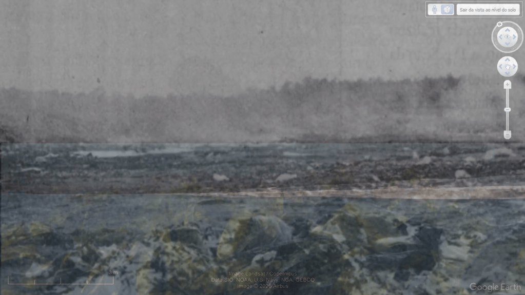
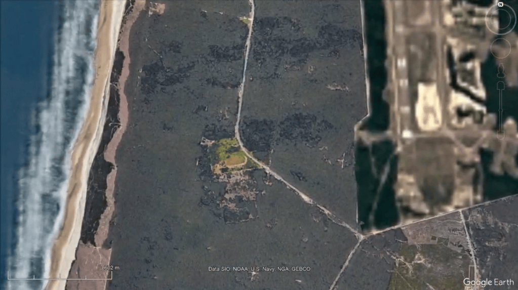
O Aterro de Maceda, localizado no Perímetro Florestal das Dunas de Ovar, esteve em funcionamento entre 1973 e 1999, recebendo durante décadas resíduos urbanos e industriais.
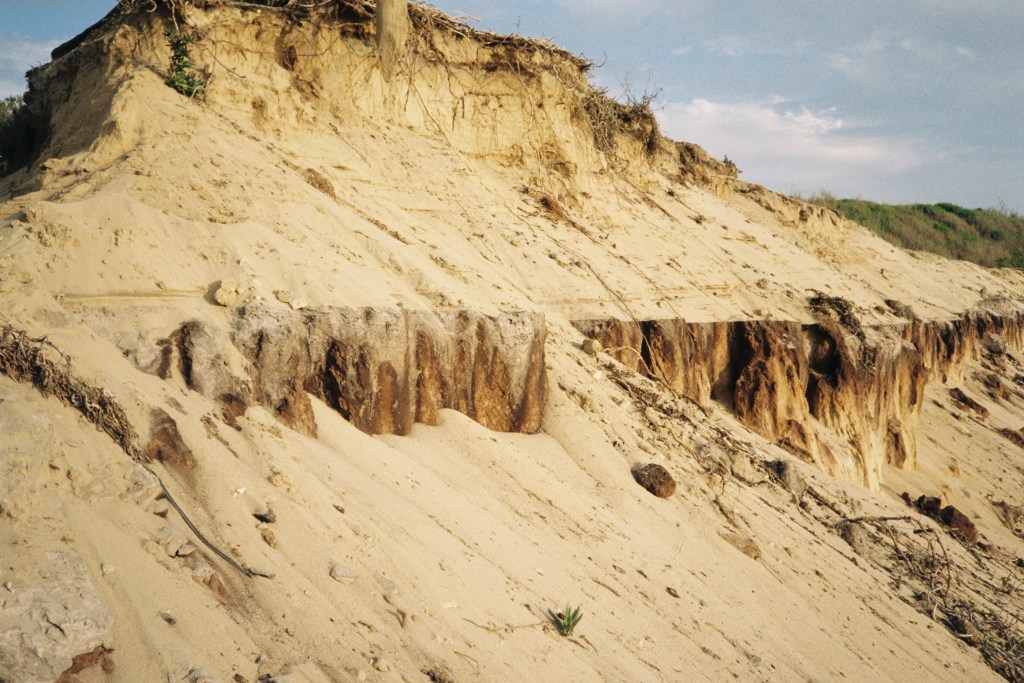
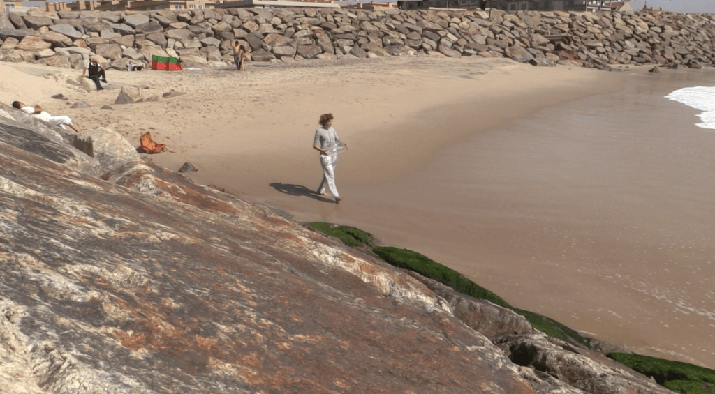
Atualmente desativado, situa-se a cerca de 550 metros de uma das linhas de costa mais vulneráveis à erosão em Portugal. Em fevereiro de 2026, na sequência de fortes tempestades, o mar avançou mais de vinte metros sobre a estrutura periurbana neste local. Se nada for feito, poderá chegar ao aterro nos próximos cinquenta anos. A responsabilidade pela gestão e monitorização do aterro continua sem uma definição clara entre as entidades competentes, preocupando a autarquia e a comunidade.
Para proteger o aterro, é urgente proteger a costa.
The Maceda landfill (Aterro), located within the Forest Perimeter of Ovar Dunes, was in operation between 1973 and 1999, receiving urban and industrial waste for decades.
Now decommissioned, it sits approximately 550 metres from one of Portugal’s most erosion-vulnerable coastlines. In February 2026, following severe storms, the sea advanced more than twenty metres into the peri-urban structure at this site. If nothing is done, it could reach the landfill within the next fifty years. Responsibility for the management and monitoring of the landfill remains unclear among the competent authorities, causing concern for the local council and community.
Protecting the landfill means protecting the coast.